An Insurance Legacy of Our Republican History: Istanbul Fire Maps and Other City and Regional Maps
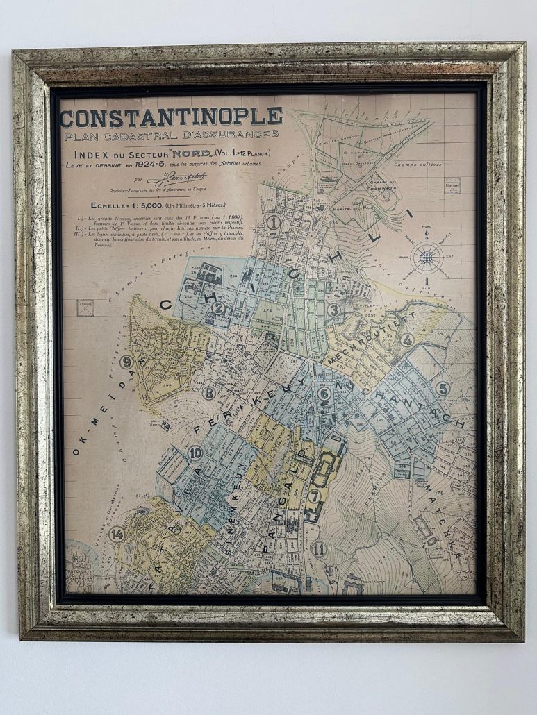
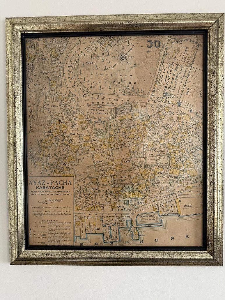
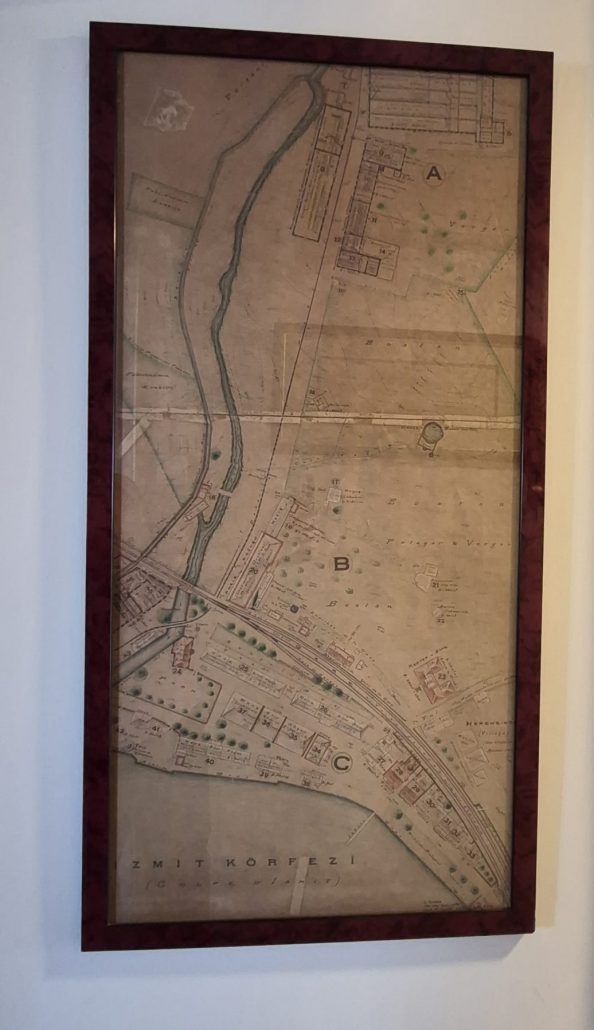
These valuable maps, housed in our company’s archives and adorning our walls—some of which are lithographs—are not merely technical drawings; they are tangible documents of the determination for scientific renewal shown in the early years of our Republic, as reflected in the insurance sector.
From Hayri Başer, who was sent to Paris as a “spark” with the instruction “Go and learn insurance for Turkey” and returned as a “flame”: When the immense losses and damages caused by the Fire of Izmir at the end of the War of Independence merged with the vision of Mustafa Kemal Atatürk, these maps documenting the city’s memory emerged.
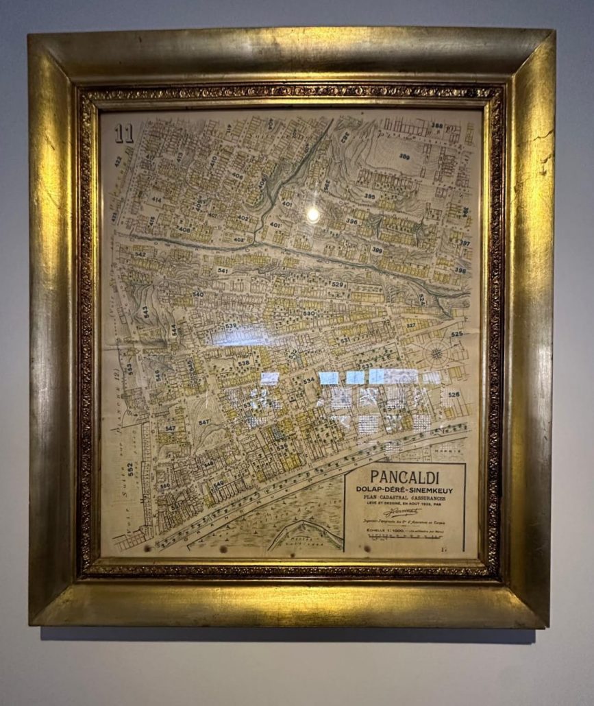
In the fire maps commissioned for Istanbul, buildings were meticulously detailed with color-coding to distinguish between masonry, timber, or partially masonry/partially timber structures. A significant portion of these maps bears the signature of the Croatian-born Jacques Pervititch.
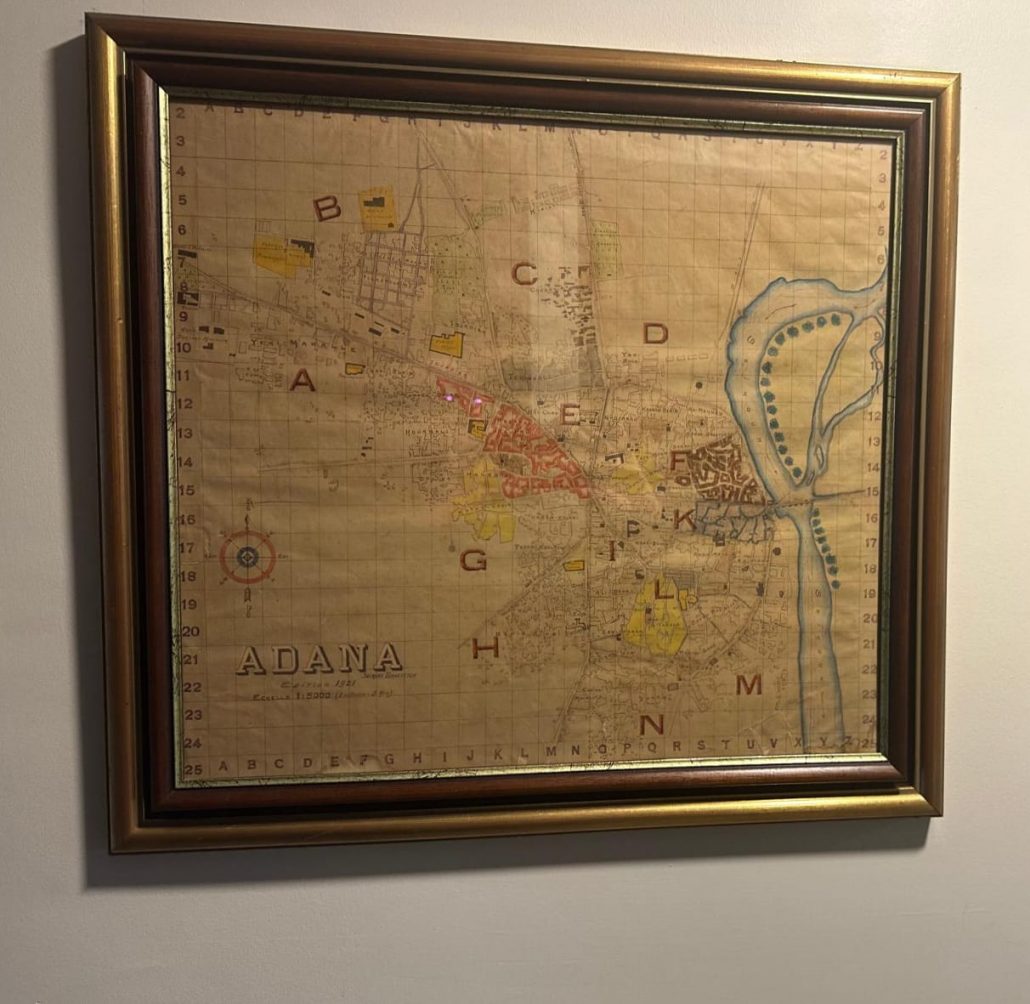
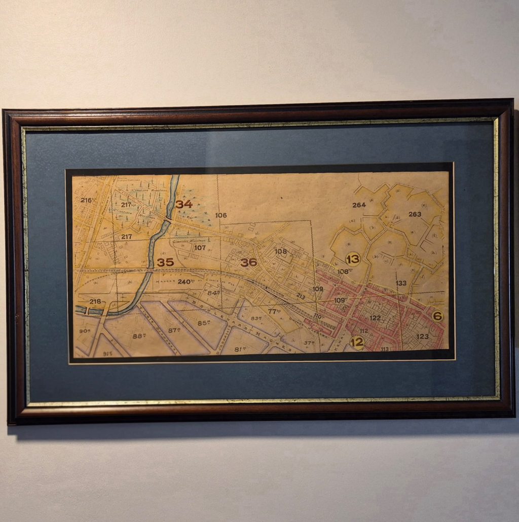
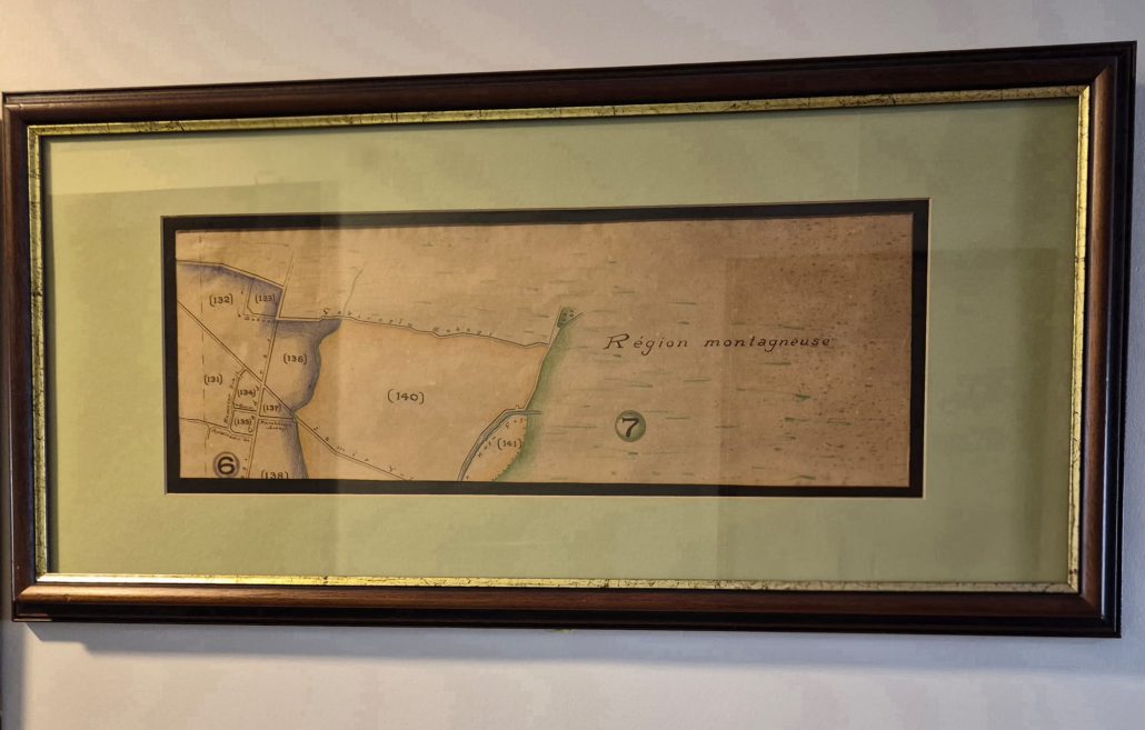
Furthermore, while a second group of maps in our archives—also dating back to the 1920s—does not contain fire details, our industrial zone maps of Mersin, Adana, Izmir, and Karamürsel, which are thought to have been produced by the same cartographer/map engineer, do not bear an original signature.